
GESNER POINT FALLS
Cape Breton Regional Municipality
N 46° 01 .244 W 060° 07.566
20T E 722446 N 51 00367

RIVER: Gesner Point Brook
CLASS: plunge
SIZE: 8', 6'
RATING: average (**)
TRAIL: woods path
DISTANCE: 100m
HIKING TIME: 5 min
CONDITIONS: easy
Geocache: GC1F9EB
NS Atlas Page: 14/Y5
NS topo map: 011K01 (Sydney)

DIRECTIONS: from Sydney, take exit 8 from HWY125,
southbound on HWY22 (Louisbourg Highway). Drive down this
road approximately 8.5km, turning right onto Hills Road. Follow
this road to its conclusion (4.6km), and turn right again, onto Hillside
Road. In 300m, turn left onto Gesner Point Road, park about 250m along.
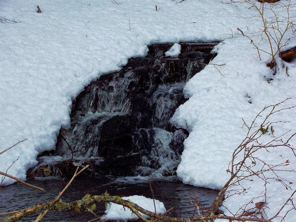
Trail Description: a pretty set of double falls, Gesner Point Falls
drops over a 6ft plunge and then cascades downstream further
several meters. There is also a nice cascade just a litle bit
further upstream. The falls are just offroad, requiring a very short
hike along an established trail.


The Coxheath Hills Wilderness Trails are an extensive community-driven hiking area, and following the trail further up will lead you to Pittman's Lodge and panoramic views of Cape Breton.cape breton cottage rentals
ReplyDelete